Southern Areas
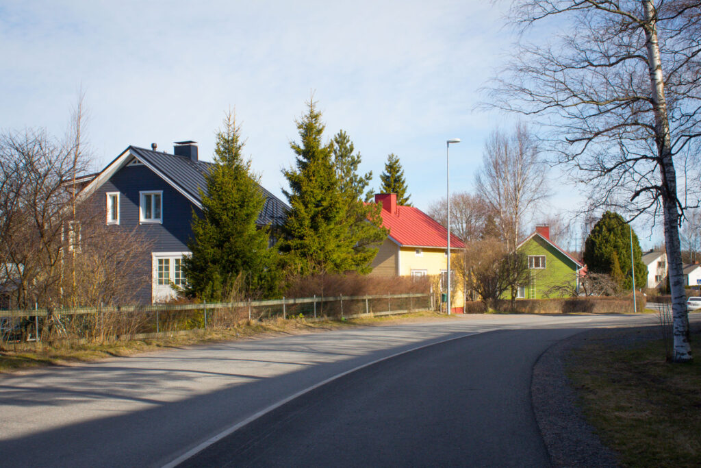
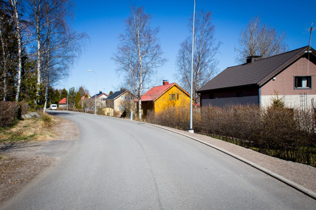
Kortela
The Kortela area, which is characterised by small houses, was built in different decades. Kortela is located close to good transport connections near the highway 8.
The village of Kortela was founded in the 1400s at the latest. The name of the village first appears in documents in 1540. In 1571 the village had four houses. Later, Kortela was a manor house, which was converted into riding stables for the crown. At the beginning of the 20th century, the building stock of Kortela was still very sparse. More dense construction took place in the early decades of the 20th century and during the Reconstruction period.
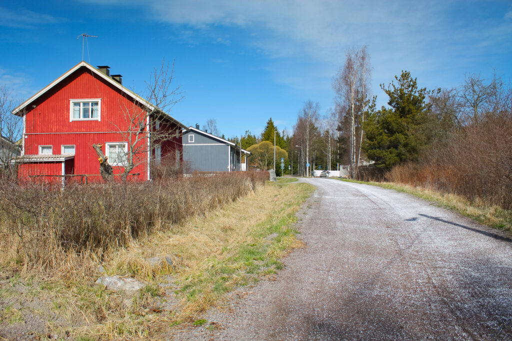
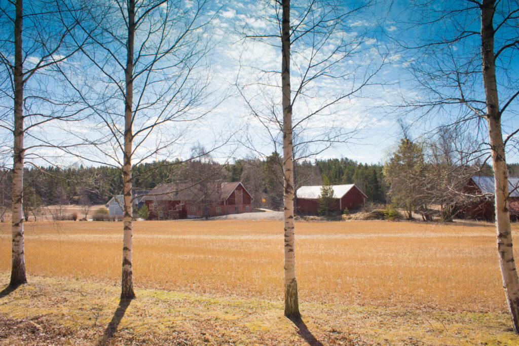
The village of Kortela has preserved its rural environment, including the coastal summer settlements. The building stock is quite diverse in age, ranging from the late 19th century to modern housing.
The Unajantie road through the eastern part of Kortela is part of the centuries-old and historically significant Gulf of Bothnia coastal road.
Nihattula
The village of Nihattula is bordered to the north and east by the village of Kolla. To the west are the villages of Tarvola and Vasarainen. To the south, Nihattula is bordered by Kodisjoki . The distance to the town centre is about 8 km. The area has retained a very rural appearance and is characterised by well-preserved agricultural landscapes. The building stock is not arranged in chronological groups, but old farms, hill farms, housing from the reconstruction period and newer buildings alternate in the roadside landscape.
The village of Nihattula was most probably founded in the 1300-1400s. In the Middle Ages the village formed a group with Tarvola, Vasarainen and Soukainen. The name Nihattula first appeared in documents in 1515.
There is no planning permission for construction in the area.
Polari
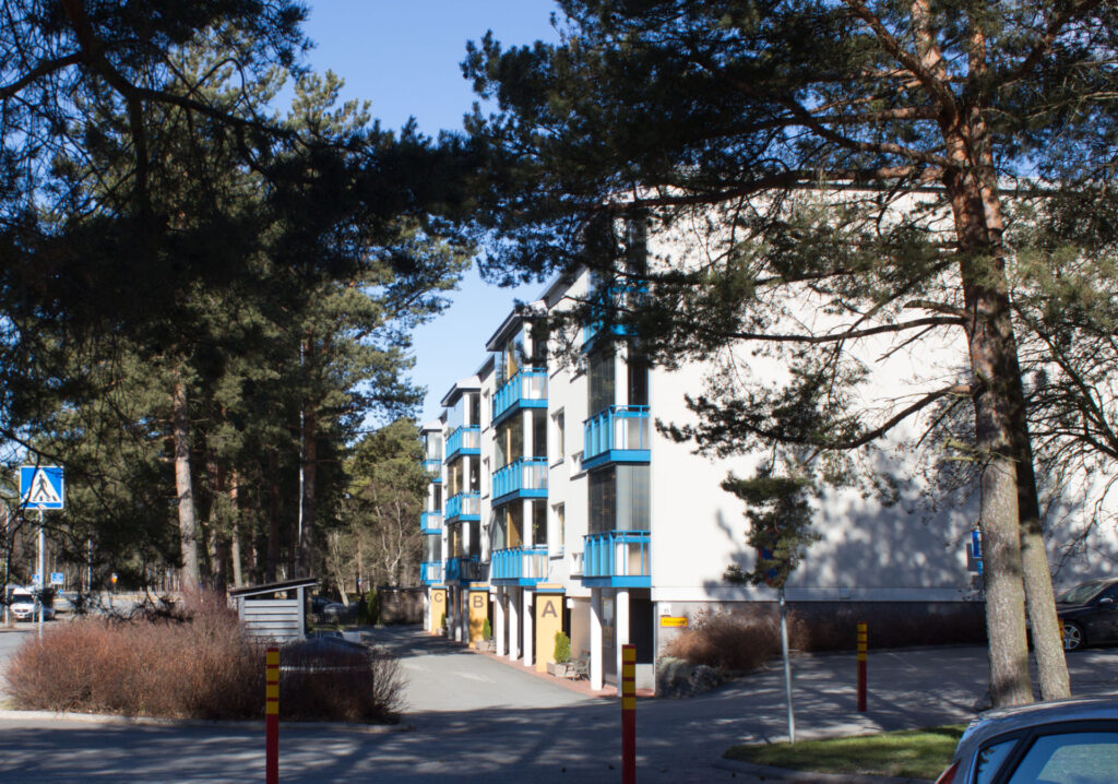
Polari comprises both a block of flats and terraced houses and a single-family house area. The plan for the apartment block was drawn up by the town planning architect Reino Joukamo at the beginning of 1967. The zoning was initiated by Rauma-Repola Oy, which built the loosely but rhythmically arranged apartment buildings in the 1970s. The area represents a higher-than-average quality of architecture of its time. The apartment buildings are a testimony to the forestry company’s housing activities and, at the same time, to the company’s local history. The buildings have retained their original exterior appearance well.
Most of the detached houses in the Polari area – also known as Rauma-Repola – were built in the 1940s and 1950s, with only a few houses built in the 1960s and 1970s. In addition to the plan, Tuukkanen designed most of the houses in the area as Rauma-Repola type houses. The prolific Rauma designer Kaino Kari has also drawn houses in the area (between Sorvaajankatu and Honkajuurentie). The typical houses can be identified by their cladding, concrete roof tiles and small double-glazed windows, among other things. The houses of the frontage type give the area a very uniform appearance.
The area is very much a coherent whole from the 1940s and 1950s, with an original look and feel. In its own way, it reflects Rauma’s years of strong population growth in the 1940s and 1950s, which was linked to the city’s growing need for industrial labour. As an area founded by a forestry company, it also tells the story of Rauma’s industrial and working-class settlement history.
Sampaanala
The green Sampaanala area south of the city centre has detached houses built in the post-war decades and an apartment block built in the 1970s. After the war, Sampaanala was parcelled out as small scale farming plots. The land-use plan differs from the urban land-use plans drawn up at the same time. The street lines follow the contours of the landscape in a rural way and the placement of buildings on the plots is more liberal, taking into account the conditions of the plots. In some places, the plots have been relatively large.
In 1970, the Sampaanala area was complemented in the town plan and at the same time the dwellings were divided into smaller plots. In the north-eastern part, a new apartment block was allocated to Tuomolanmäki, which was built in the 1970s. Other unplanned areas and open spaces were filled in with terraced and detached houses.
In Sampaanala, much of the reconstruction-era building stock has been preserved. The history of the area can be read in the surroundings. The original building type in the area is a 1½-storey detached house. The façades of the buildings are traditionally clad in stucco or plaster. Much of the infill development represents the 1970s and 1980s. In the southern part, the building stock is predominantly single-storey low-rise and brick and timber-clad.
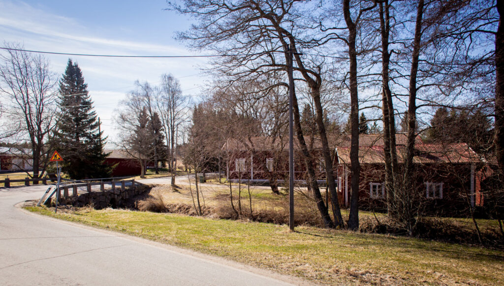
Soukainen
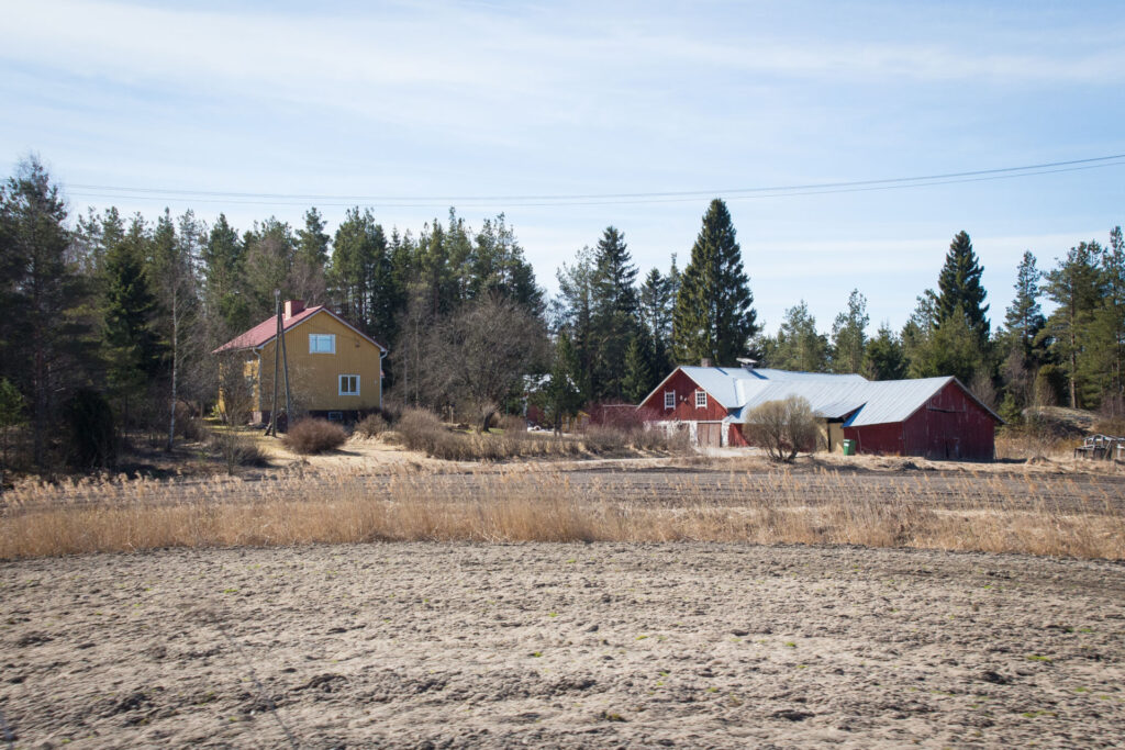
Soukainen is a scenic, sparsely built, historic village and farming area. Vermuntila and Soukainen have good outdoor recreational opportunities, thanks to the Seitsemän järven (Seven Lakes) hiking trail, for example.
There is no planning permission for construction in the area.
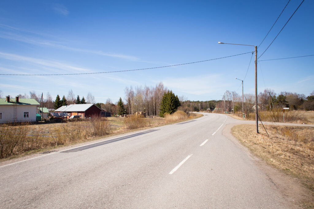
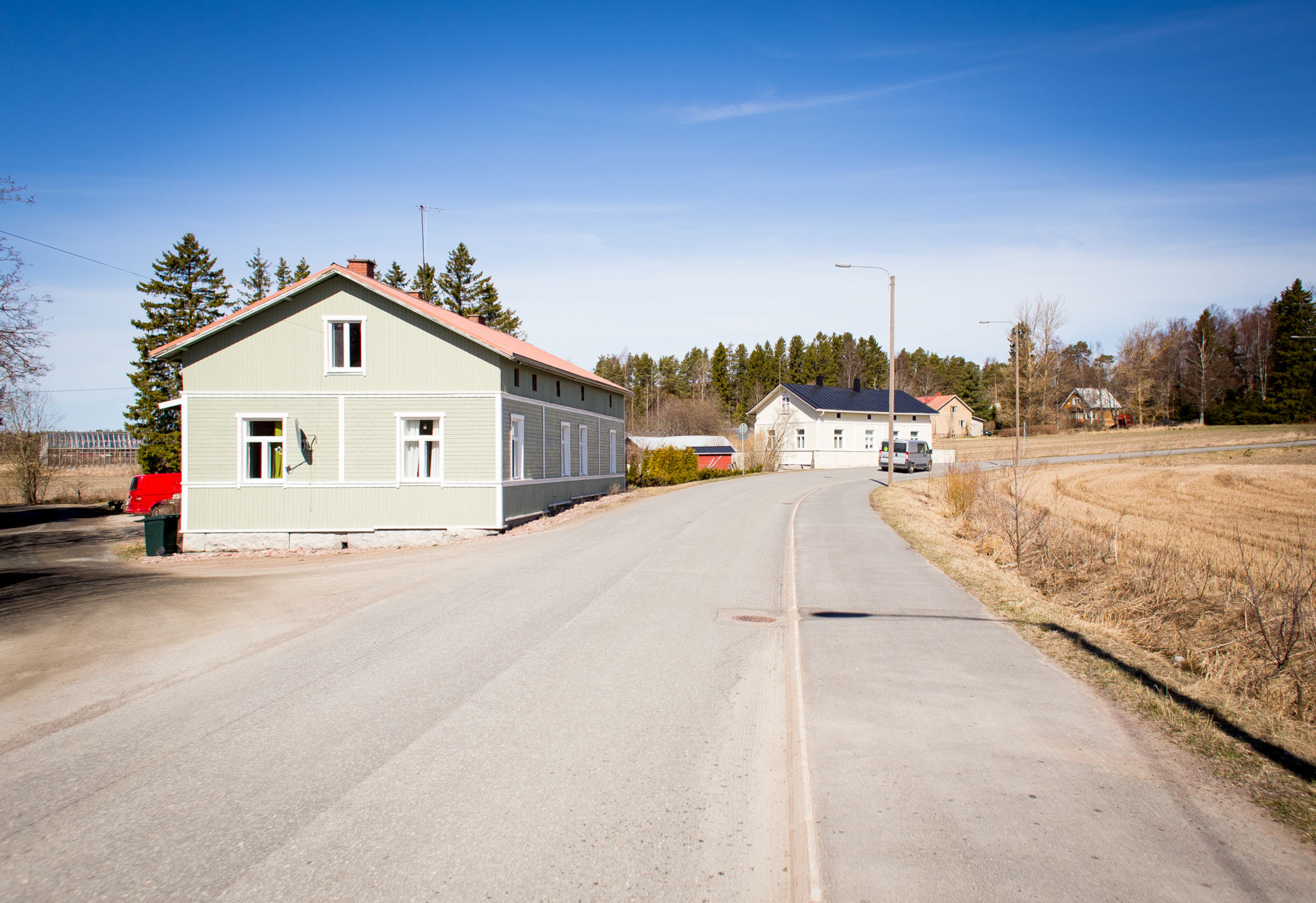
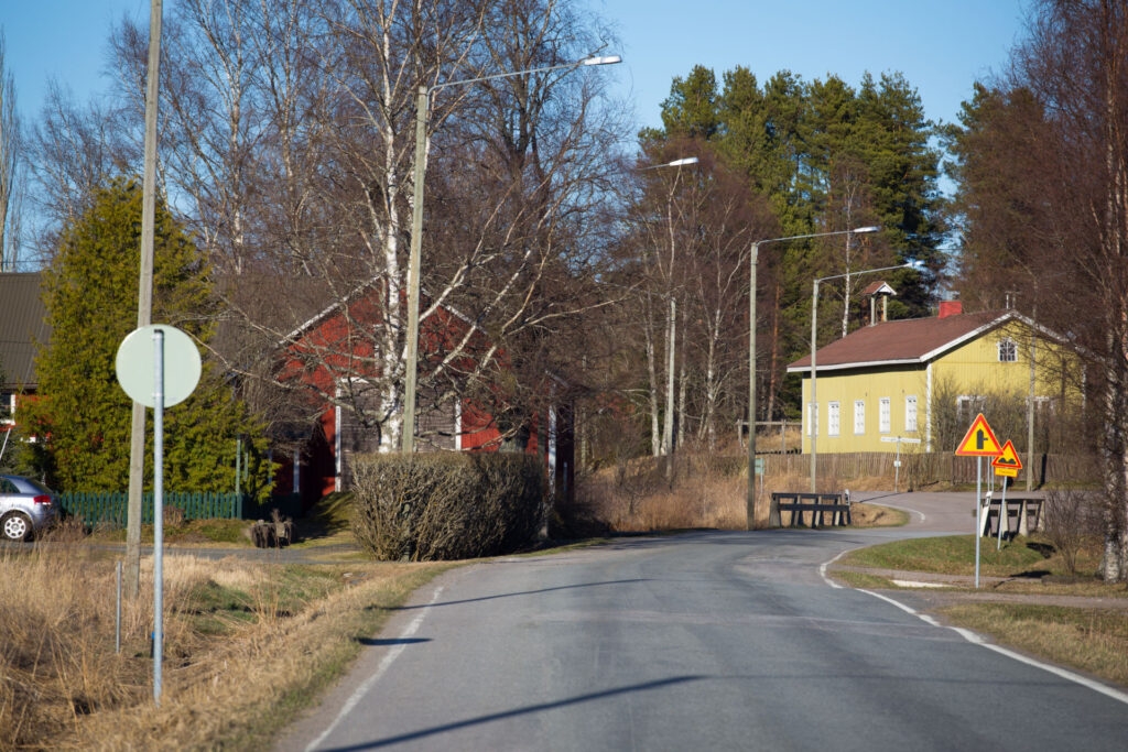
Unaja
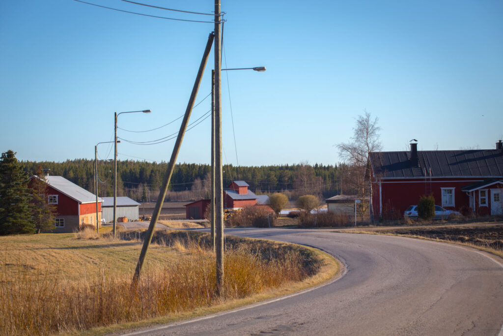
Unaja is a village with a history dating back to the 15th century. It is located on both sides of the highway 8 in a cultural environment of national importance, with good accessibility. The old centre of Unaja is well preserved and has many valuable buildings and courtyards. Countryside-like residence Traditional building methods and materials are also respected in new construction.

Vasarainen
The village of Vasarainen is about six kilometres from the centre. The village’s old railway track and the surrounding farmland form a cultural landscape of national importance.
The settlement is mainly located in a strip along the Vasarainen road and the building stock is mixed in age.
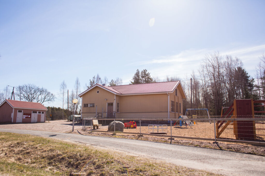
Vasarainen has its own primary school. The Muina Local History Museum is located in the area. Other attractions in the area are the numerous early metal age ancient graves, the largest of which are more than ten metres wide and about two metres high.
There is no planning permission for construction in the area.
Vermuntila
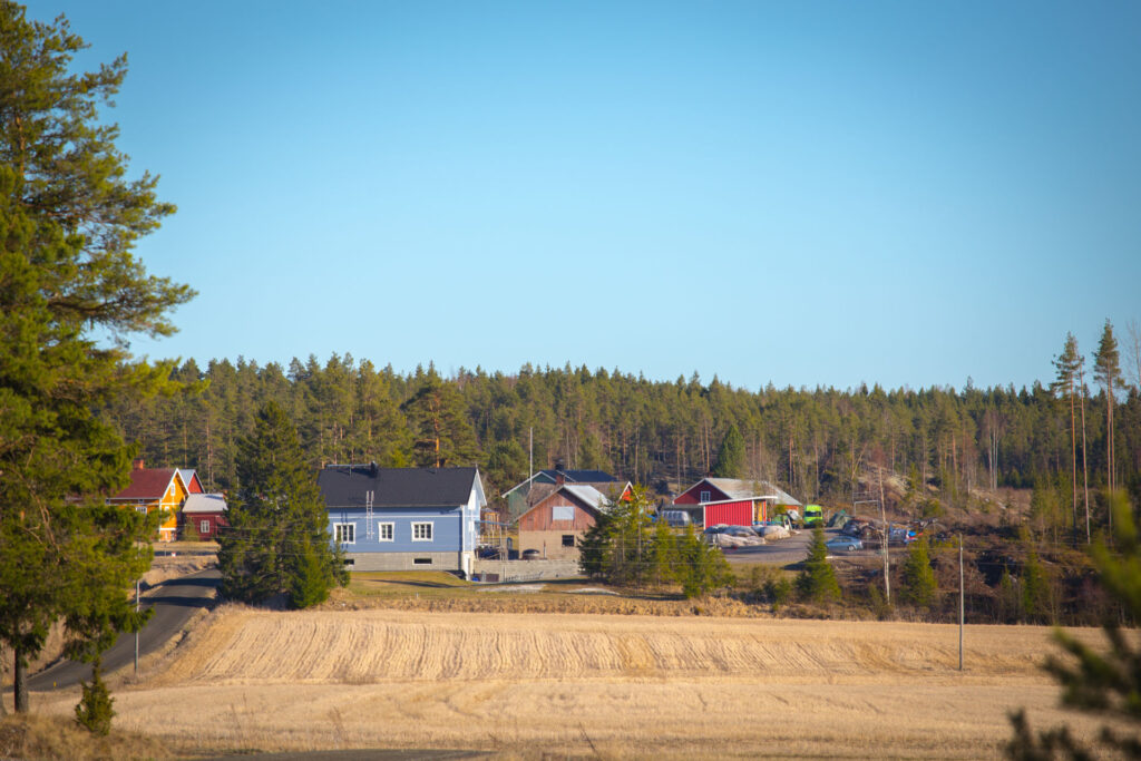
The village of Vermuntila is located east of the highway 8 in the southern part of Rauma. The distance to the city centre is about 12 kilometres. The village is one of the cultural environments of regional significance. The landscape of the area is a beautiful rural landscape, with older buildings lining the roadsides.
The village of Vermuntila is one of the oldest in the Rauma area, founded before the year 1300. The first written records of the village date back to 1476. In 1571 Vermuntila had four houses. During the Great Wrath (1713-1721) the village was badly burnt by Russian troops.
There is no planning permission for construction in the area.
Voiluoto and Anttila
Voiluoto and Anttila form a very close pair of villages. One could actually speak of one village of about 400 inhabitants, located on the southern edge of the city of Rauma, bordering the Pyhäranta road in the municipality of Pyhäranta in the province of Southwest Finland. The area is characterised by rural, multi-generational, single-family housing.
Traditional building methods and materials are also respected in new construction.