Maps and geographic information
Mapping and map products
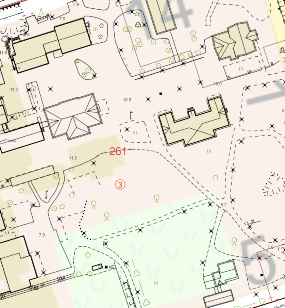
The Real Estate and Measurement Department maintains the City of Rauma’s base map and produces spatial data sets for the city area. Map products can be ordered from the city’s online service portal.
The data is delivered in the desired coordinate system, by default the City of Rauma uses the ETRS-GK22 coordinate system. Government organisations usually use the ETRS-TM35 coordinate system.
Online map service
In addition to the official guide map and address map of Rauma, the city’s map service also provides an aerial view of the municipality and zoning maps with zoning regulations. In addition to the maps, the service provides information on winter road maintenance areas, Rauma’s parking zones, sports facilities and routes.
Addresses
In planned areas, the names of streets and roads are defined in the town plan. In areas without a zoning plan, the name of the road is determined by the technical committee.
In cooperation with the Planning and Building Control Department, the Real Estate and Surveying Department maintains the city’s address system. Addresses are generally given to properties and buildings used as building sites, and to other sites as required. The address consists of a road/street name and an address number.
The need to change addresses may arise due to changes in zoning or road networks. In such cases, the Real Estate and Surveying Department sends a notification of the change of address to the properties concerned and to the authority.
Coordinate and height system
Rauma uses the ETRS-GK22 plane coordinate system and the N2000 elevation system.