Eastern Areas
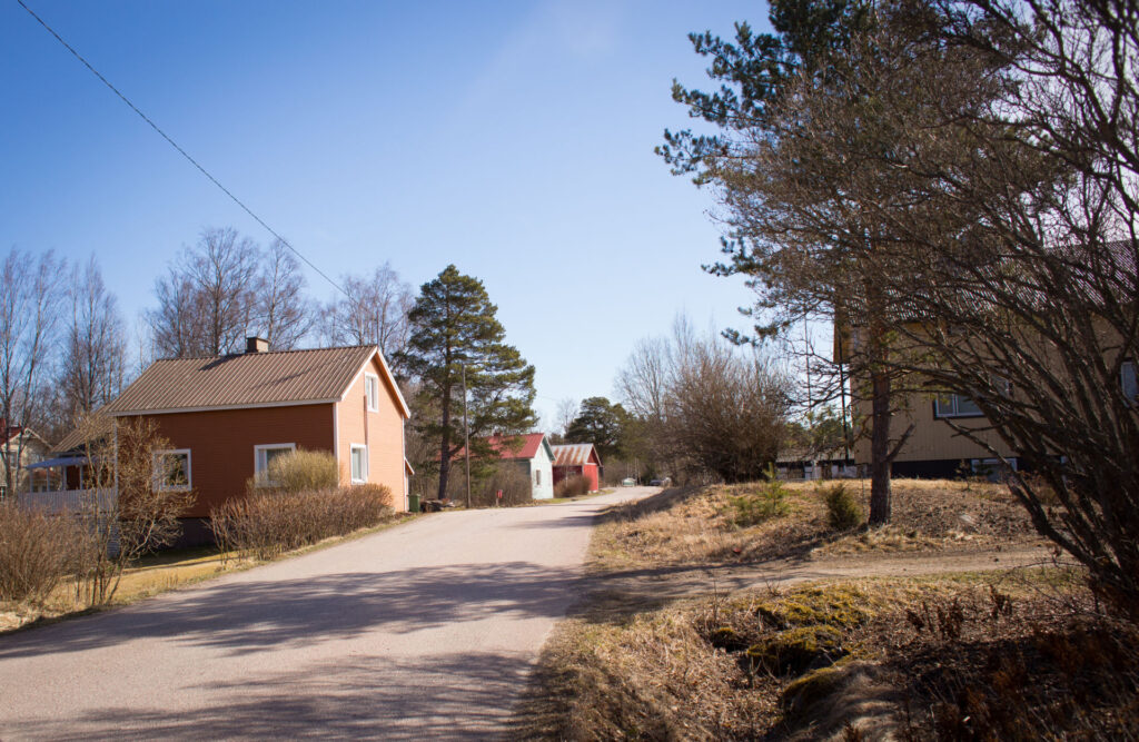
Kodisjoki
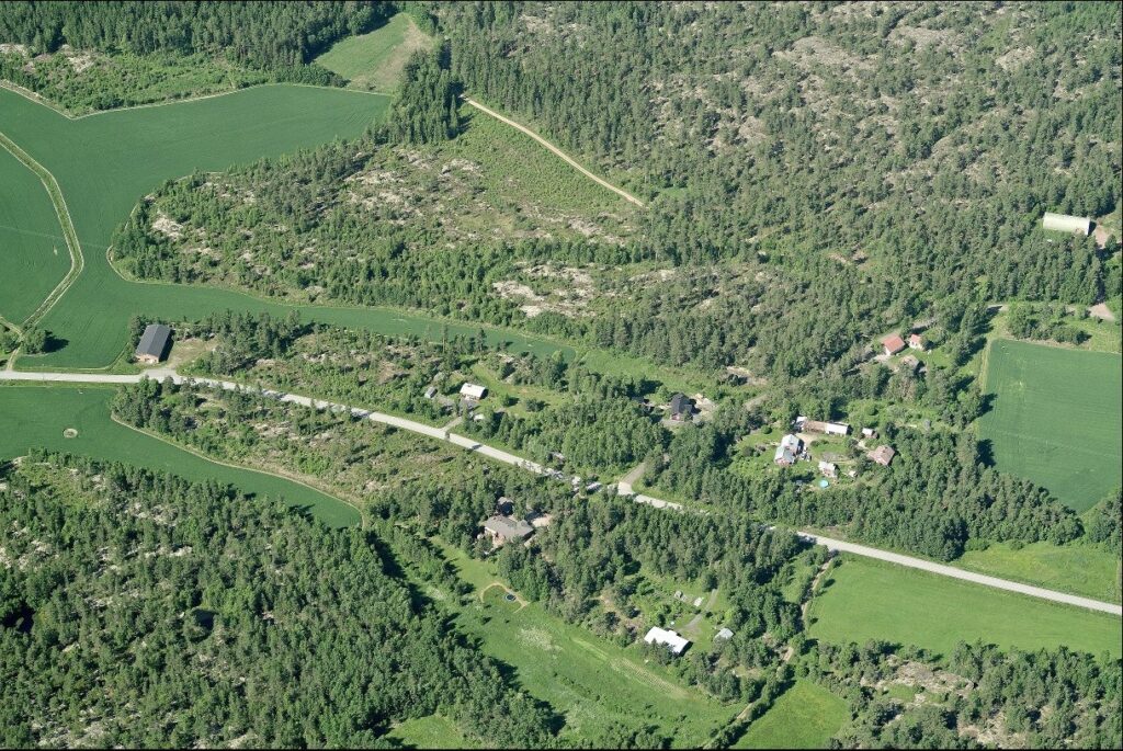
The rural town of Kodisjoki is about 15 km southeast of the centre. Traditionally located on the border between fields and woods, in warm and sheltered spots, residential plots and village roads form an idyllic rural environment. The building stock is stratified in time, with buildings spaced out loosely. The area represents a peaceful rural idyll, a traditional landscape.
The village is set in a small, varied landscape of hills and streams, with slopes and gorges. The central agricultural clearing is surrounded by rocky woodlands with a varied landscape. The church dominates the scenery. Services are available, including a school and a shop.
The long history of settlement in Kodisjoki is reflected in the numerous archaeological remains found around the municipality. The river with its fertile banks attracted the first settlers. Several small lakes provided additional income from fishing. The open agricultural landscape has been preserved.
Kolla
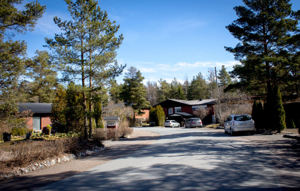
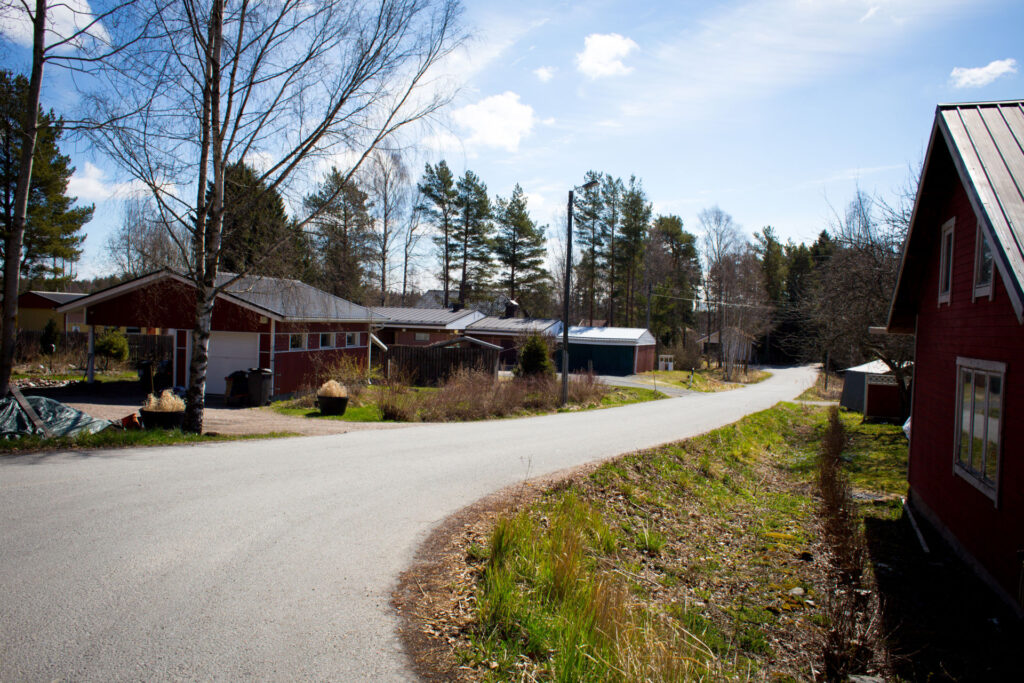
The village of Kolla is located on the south side of the current Huittistenie road, on both sides of Kollantie road, about 8 kilometres east of Rauma city centre. The village’s building stock is mainly located along Kollantie on both sides of the road. The village is part of the Kollan-Nihattula-Tarvola village association. Like many other villages around Rauma, the origins of the village of Kolla date back to the Middle Ages.
There is no planning permission for construction in the area.
Kourujärvi
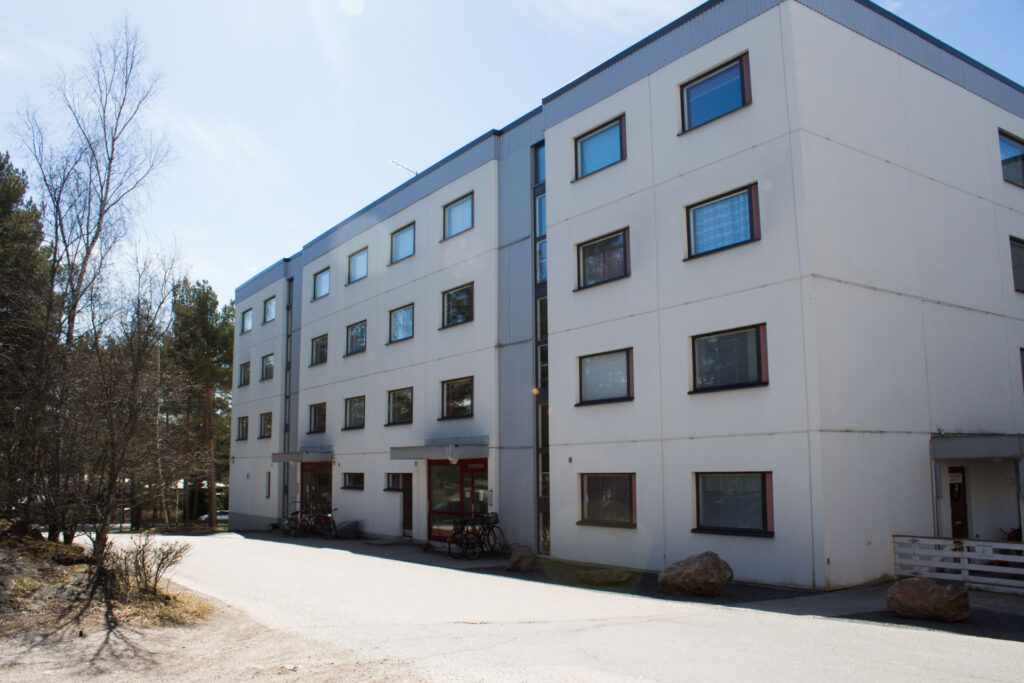
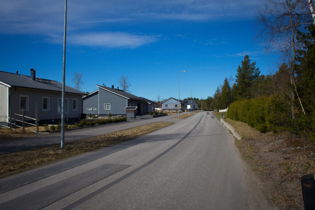
The Kourujärvi district is located on the edge of the city centre. The coherent blocks of detached houses built in the 1960s and 70s are typical of the detached housing of the period. There is also an apartment block built in the 1970s and 1980s.
Geographically, the area is varied and forested in appearance. The area is well connected to recreational and outdoor facilities, including a beach, a football pitch and the Lähdepelto sports centre. Services include the Kourujärvi school and library and a sports hall.
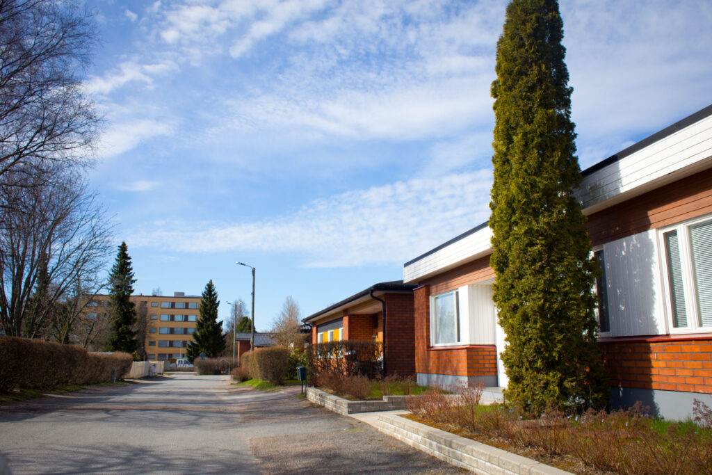
Lajo
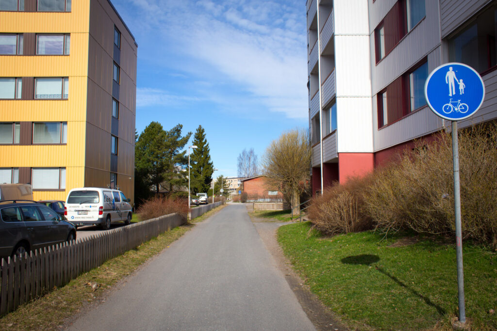
The Lajo apartment block, with houses from the late 1960s and 1970s, is located between Porintie and Äyhöjärventie. The individual houses and the urban fabric have been preserved in their original state.
To the north of the apartment block is a charming area of mainly single-storey detached and terraced houses, built in the early 1970s.
The area is well connected by pedestrian and cycling transportations to the city centre and across the area. There is a kindergarten in the area.
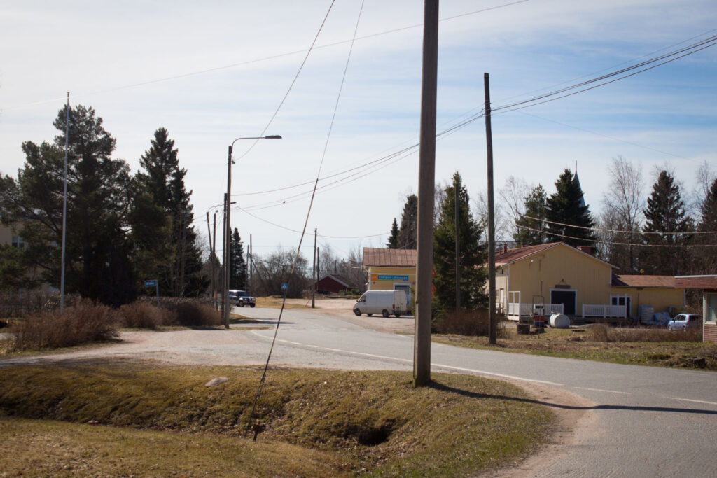
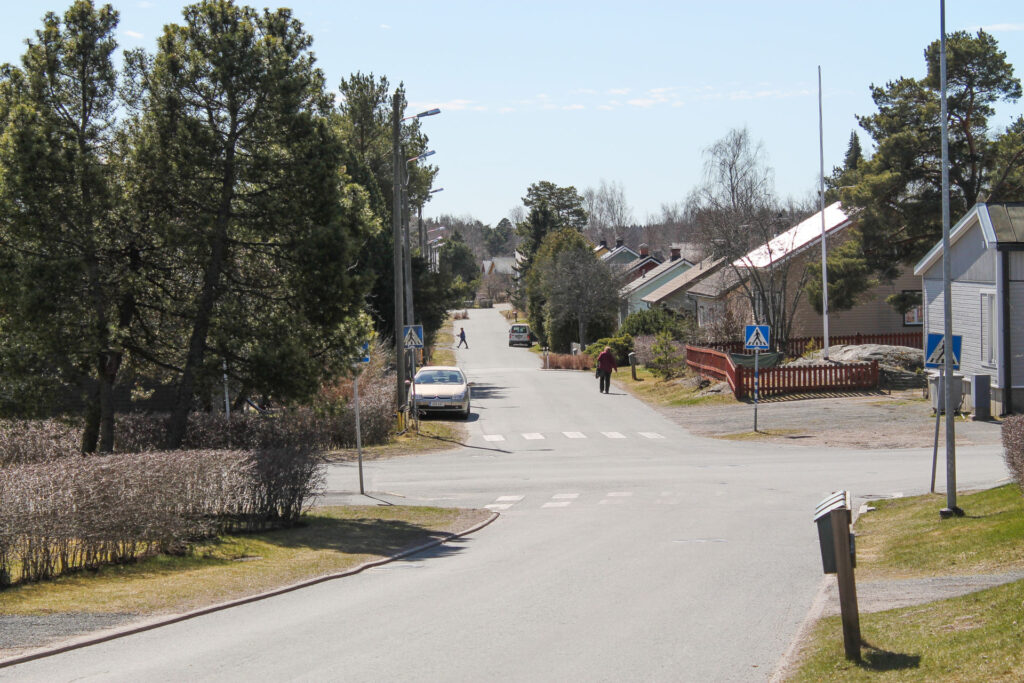
Lappi
The rural town of Lappi is located about 20 km east of the city centre, along highway 12. The area has many services, including a school, kindergarten, library and a vibrant community.
Since the Middle Ages, Lapinkylä had a chapel church, which belonged administratively to the parish of Eurajoki. The name Lappi has apparently been in use since 1413.
In the early 1900s, the building stock was still very sparse compared to today. From the turn of the 1950s to the 1960s, the building stock became denser along the main roads. It was only after this period that the parish became the urban settlement it is today, with its grid pattern housing estates.
Lappi’s church village is in part very well preserved in terms of its building stock. The temporal stratification is clear. There is also a large number of newer buildings. The surroundings of the church, together with the church buildings and the macasin, form a significant whole. The church was built in 1760. Near the town centre, the Lapinjoki river spreads out into the Saarnijärvi lake and is a very beautiful field landscape.
The road alignments in the Lappi church village area have survived remarkably well considering the changes that have taken place in the area during the 20th century. Main roads Kirkkotie, Puustellintie, Sahamäentie and Meijeritie have been preserved from the 19th century at the latest. The road leading to Eurajoki is also ancient. Some of the smaller and partly unpaved roads crossing north of Kirkkotie and Puustellintie are old, such as Santarannantie and Pärkäntie.
Lappi is known for its prehistory, including the Sammallahdenmäki burial mounds.
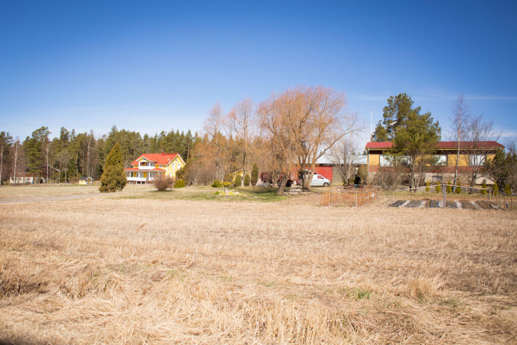
Monna
The Monna district is located about five kilometres south-east of the city centre, on the border between urban and rural landscape.
There are rural residential areas along the Koilahdentie road, which follow the alignment of the road. To the north of the road is an area of detached houses of various ages. The older part of the site dates from the 1990s and the new part from the early 2000s. The new part was planned with the aim of providing relatively large and loose plots as an alternative to dense urban housing.
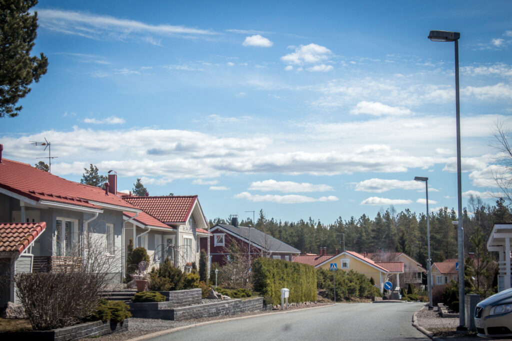
Paroalho
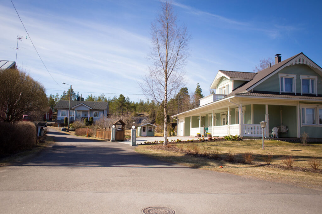
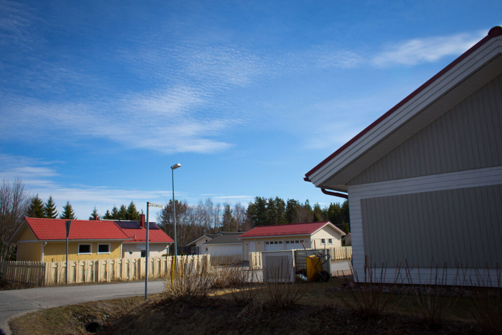
The Paroalho district is located 1.5 km from the city centre, with local amenities such as a shop and pharmacy within walking distance. The area is well connected to the Lähdepello sports centre and the outdoor recreation areas of the Lake Äyhönjärvi and Lake Pitkäjärvi recreation complex, as well as to the highway 8.
The area was built from the second half of the 1940s to the 1960s. It is a coherent area of detached houses with a pleasant overall appearance, enhanced by gentle landforms and curving streets. The houses and courtyards are well maintained.
The area is a cultural environment of provincial value.
Tarvola
The small village of Tarvola is located to the east of the town and borders the village of Uotila to the north. To the east, Tarvola is bordered by the villages of Nihattula and Kolla, and to the south by the village of Vasarainen. Despite its proximity to the city, Tarvola has remained sparsely populated and rural. The village of Tarvola and its cultural landscape have been recognised as a cultural landscape of provincial importance. The village of Tarvola also dates back to the Middle Ages.
Newer detached houses have been built along Kourulantie in the eastern part of Tarvola. However, there is no planning permission for construction in the area.
Uotila
Uotila is located close to the city centre, about three kilometres to the east, in an area close to nature, but also historically stratified. The village of Uotila was most probably founded in the 13th century. At that time, however, the village consisted of only one or two houses. Between the 1560s and the 1570s, the village is known to have had 8 to 11 houses. The medieval village plot was located along the old road to Uotila, at the junction of the Pomppustentie road on its western side. The building stock apparently began to grow significantly only around the middle of the 20th century. The proximity of the town influenced the transformation of the old village street of Uotila, which in the second half of the 20th century began to resemble a fairly typical urban area with commercial buildings.
The old village of Uotila and its village green have been identified as a site of national importance. The older building stock is largely characterised by its small scale and modesty. However, this does not mean that the area is insignificant. The hilly area to the north of the main track is rich in small-scale buildings that follow the contours of the landscape quite freely, forming a fairly attractive and coherent whole in terms of time and style.
The Nikulanmäki, Nikula, Peränikula and Kallionikula residential areas have been developed from the late 1960s to the present day. The Kallionikula area still has a large number of vacant single-family plots.
Local services include a school, shop and pharmacy.
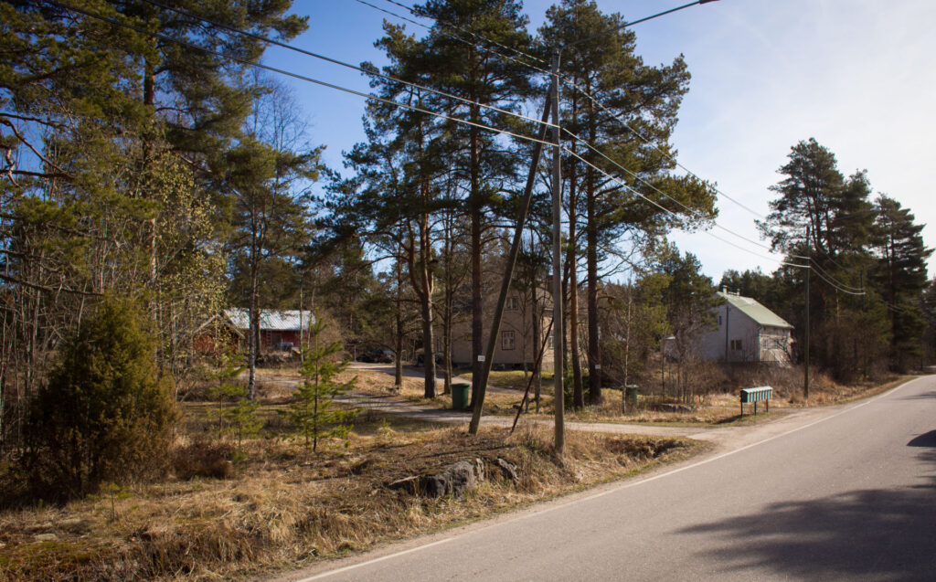
Äyhö
In Äyhö, residential development is mainly concentrated along Äyhöntie road, near the golf course. The Äyhöntie follows the alignment of the historically significant Gulf of Bothnia coastal road. The distance from the city centre is about two kilometres.
The building stock is arranged in a strip along Äyhöntie. Almost all decades of the 20th century are represented in the building stock of the area. Äyhöntie and its surroundings are very green and in places have cultural landscape features.