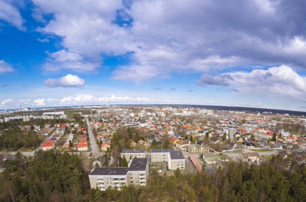
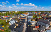
Central Areas
The Rauma city centre area is made up of seven different residential areas, each with its own distinct architectural style from different decades. Architecturally, Rauma’s central district is exceptional in Finland, as the built environment of the city provides an uninterrupted cross-section of Finnish architecture from the early 17th century to the new millennium.
Lonsi
Residential area close to the centre and services, cosy, coherent architecture. Lonsi area tells the story of the history of working-class housing and at the same time the activities of the local forestry company from the 1910s to the 1940s.
In terms of urban structure, the area is a coherent area of wooden houses. Architecturally, the most distinctive feature of Lonsi is the interconnected detached houses. The area is located about 1.3 km west of the city centre.
Nummi
Old Rauma, Onnela, the Nummi area and the Aseveli village south of it together tell the story of Rauma’s and Finland’s history of wooden construction from the 1700s to the 1950s.
Nummi is a representative example of a typical Finnish residential area of its time. The Nummi area is coherent thanks to the simultaneous construction, uniform plans and materials. The structure and building stock – streets, plots, residential buildings, courtyards and outbuildings – have been preserved in a way that is consistent with the period in which they were built, intact and coherent.
Asevelikylä
South of Nummi, in Asevelikylä, the wooden, often plastered, residential buildings are usually designed by Helena Vainio in 1953-54. Street names such as Kollaankatu refer to the history of the area.
The residential buildings are located end to end facing the street. They are typical so-called “Rintamamies” houses and are very similar in shape to each other.
Onnela
Onnela’s block structure and building stock has been largely preserved in its original state. The area is a significant part of Rauma’s planning history and the expansion of the city’s zoning and settlement in the mid-1800s and 1900s. Onnela’s historical value is enhanced by its location in the vicinity of Old Rauma – the area can be considered part of the historical context of the old town: the way Onnela was built continued the long tradition of Old Rauma.
Residential buildings are intended for multi-family use and are located along streets, often on the corner of a plot as an angled building. In the northern part of the area, the villa-type residential buildings are different from the other houses.
Ota
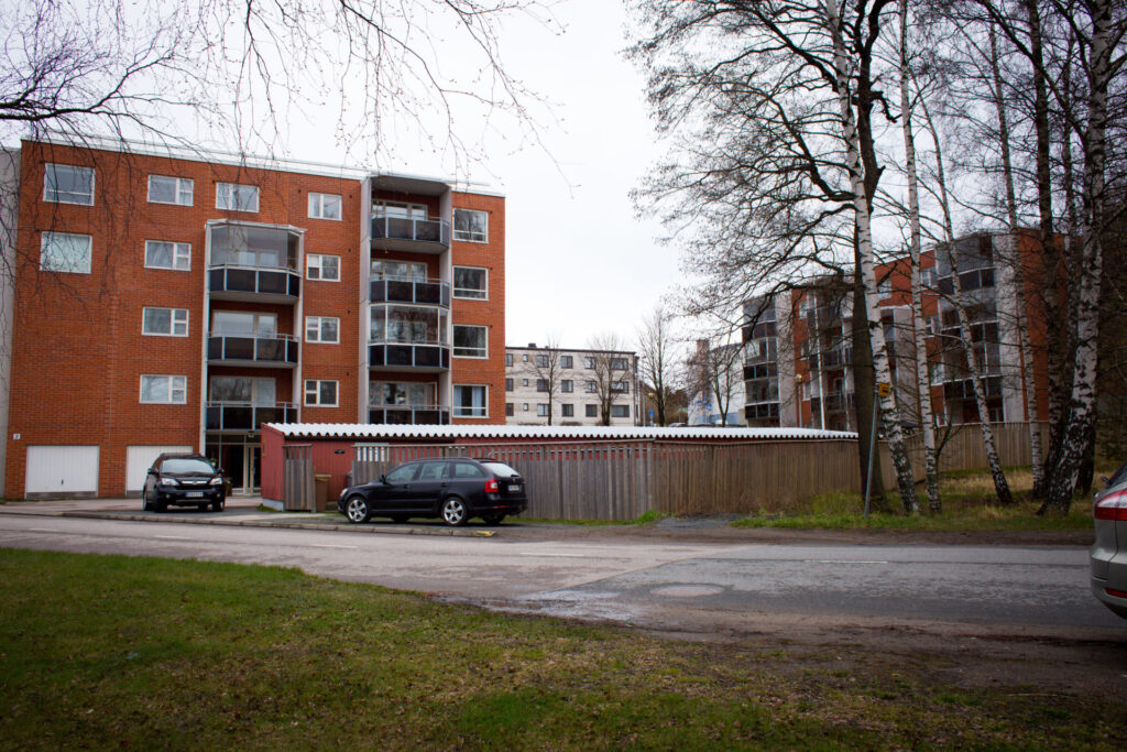
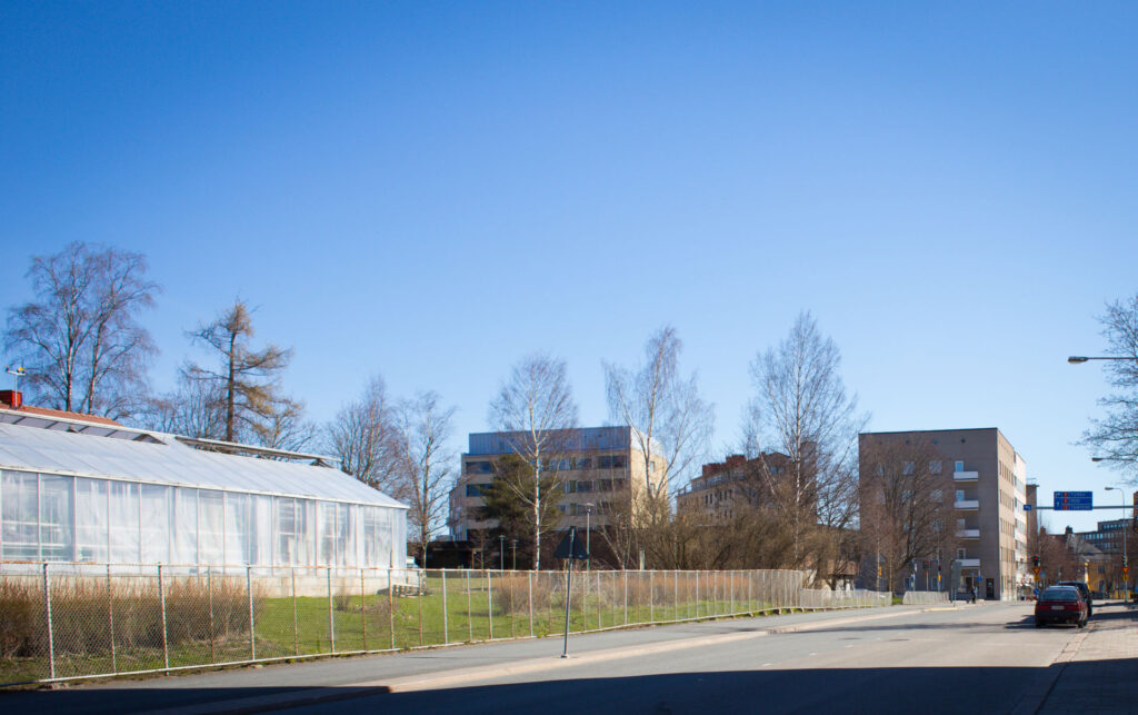
The Ota area is located south-west of the city centre, close to the recreational areas of Fåfänga and Petäjäs by the sea. The area contains several well-integrated residential areas of the reconstruction period and areas built for factory workers. Syväraumankatu forms an urban axis, with attractive, coherent blocks of detached houses and small apartment buildings on both sides of the street.
This unity is based on the operation of the factories. The site was built all at once according to the original plan, using type drawings. Renovation work has been controlled since the 1980s. The 3rd district tells the story of Rauma’s industrial settlements, above all Hollming Oy. The area is made up of a series of small units of varying architectural quality and townscape significance; Rauma housing architecture from the 1910s to the 21st century.
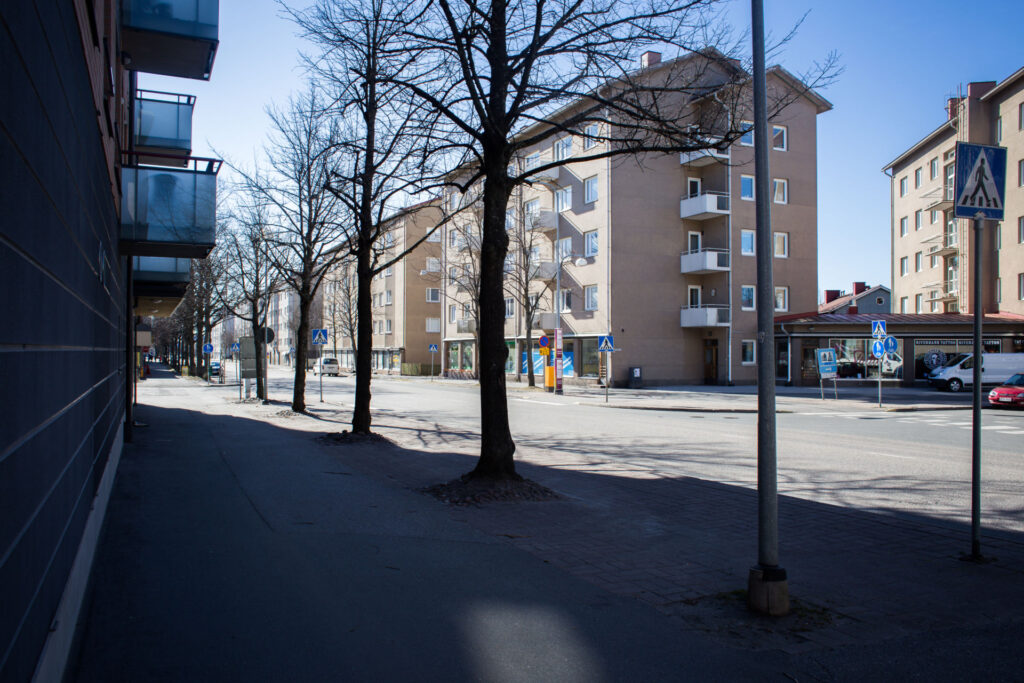
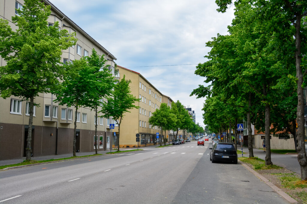
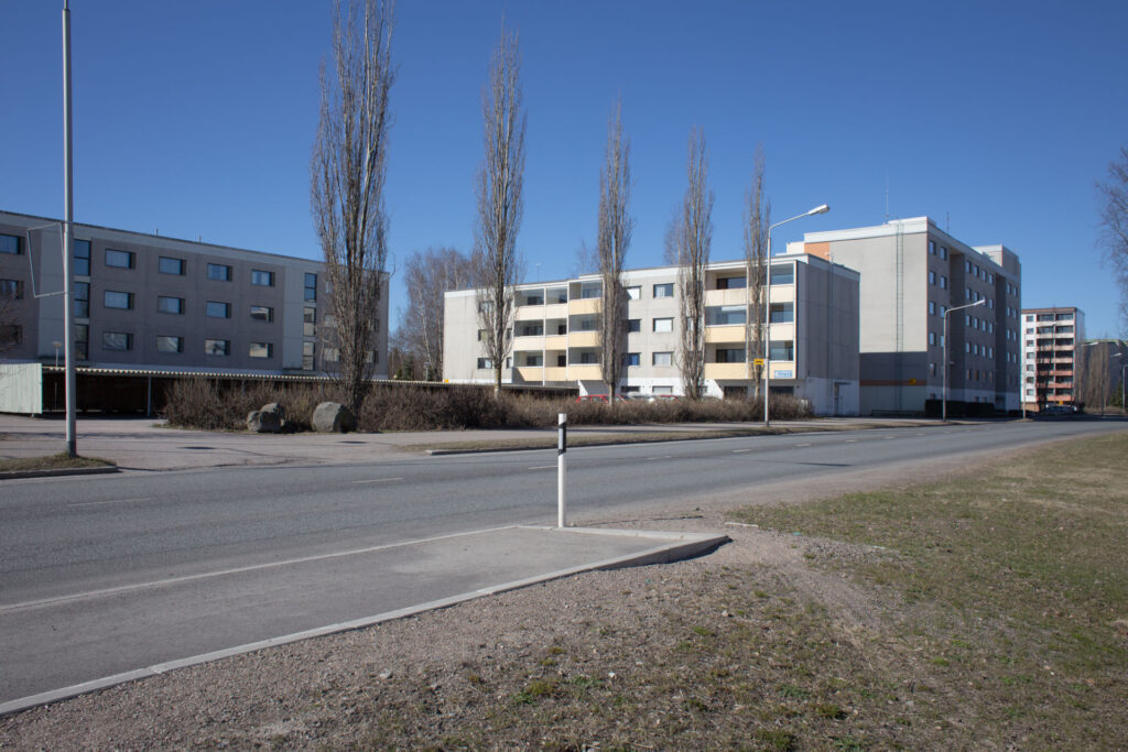
Apartment Buildings Along Syväraumankatu
Syväraumankatu is one of Rauma’s most urban spaces. The street is home to monumental apartment buildings from the 1950s to the 21st century. At the northern end of Syväraumankatu and Raumanmerenkatu is an urban landscape of six seven-storey apartment buildings built in the 1960s.
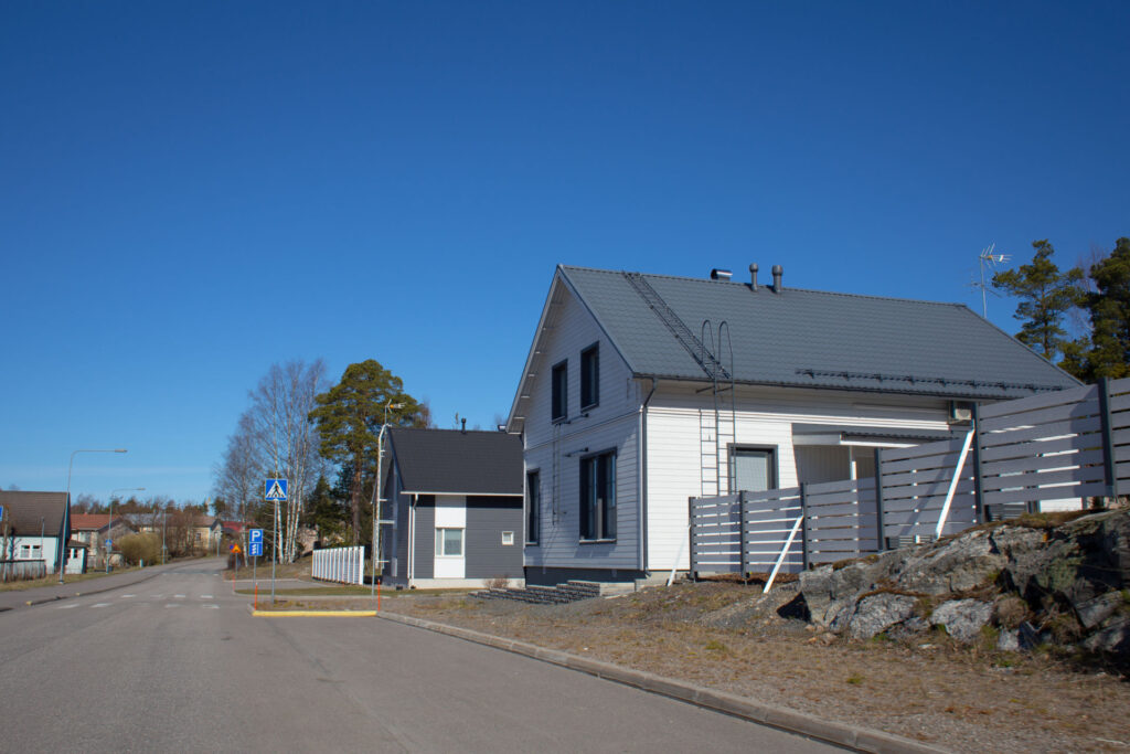
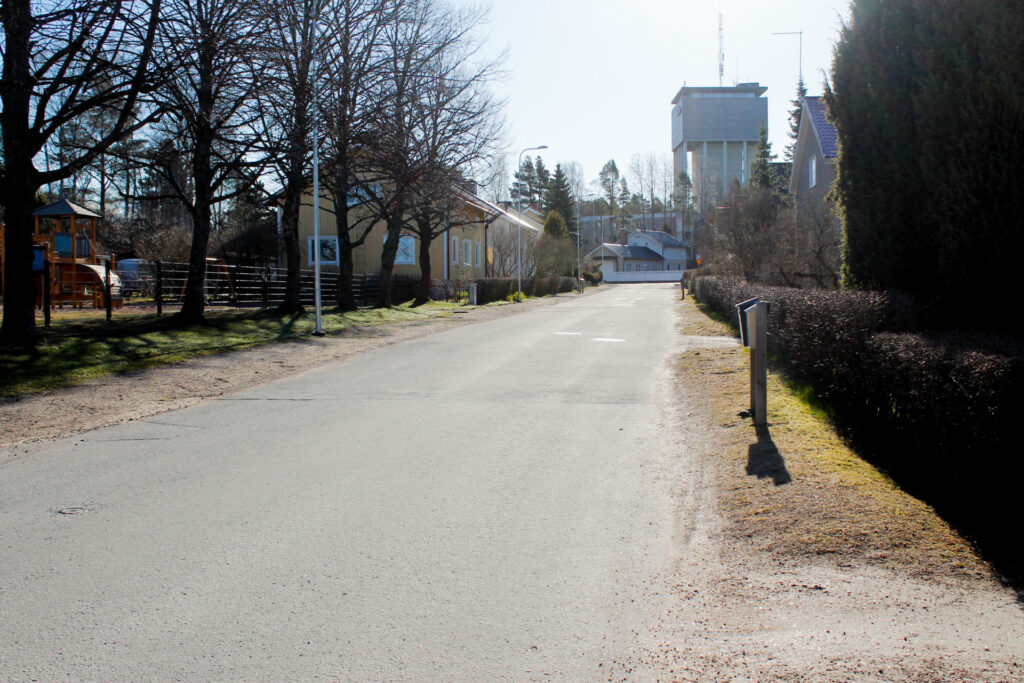
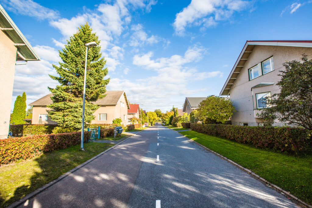
Sonnihaka
The Sonninhaka area is located about 1.5 km northwest of the city centre, close to the Fåfänga recreation area on the shores of Otanlahti. The area was first developed in the 1940s as a single-family residential area. The Sonnihaka area tells the story of Rauma’s industrial settlement history, especially the workers’ housing built by Ammus Oy, Sytytin Oy and Lönnström. The buildings and urban fabric of the area have largely preserved their original housing and appearance.
The houses in the Sonnihaka area are 1½-storey, board-lined, originally two-family dwellings. Both ends of the house have open porches. The area is characterised by the similarity and seriality of the buildings and the unity and balance of the streetscape. As a series, the houses are more than the sum of their parts.
Männistö
Less than a kilometre northwest of the city centre. The block was built according to a grid plan in the early 1900s. The block consists of single-storey wooden buildings with uniform facades in all directions.
The construction of the Männistö workers’ housing company was one of the first measures taken in the early 1900s to alleviate the housing shortage of the working population in Rauma. This led to the establishment of the Housing Company Rauha in what is now Männistö and it became the first workers’ housing company in Rauma.
The site tells the story of Rauma’s urban planning and the history of working-class housing. Architecturally, the site is of a high local standard and has largely retained its original appearance.
Urheilukatu and Saaristokatu
Hollming Oy built eight two-storey wooden blocks of flats for its employees along Urheilukatu and Saaristokatu in 1946-1949. The houses all face the street. They are gable-roofed and clad in sheet metal. The courtyards are fenced with hedges and netting.
In addition to the wooden blocks of flats, three plastered blocks of flats were also built by Hollming in 1949 along Urheilukatu. Earlier, in 1949, plastered apartment buildings designed by the KK housing department were built by Hakka along the street.
This small apartment block was born out of a housing shortage.
Sinisaari
In the south-west of the city centre, less than a kilometre from the market, the complex consists of interconnected and detached 3-7 storey houses, bordering sheltered courtyards. Car parking is provided close to the streets, leaving a common park area in the middle of the blocks.
The area was built over a relatively short period between 1974 and 1977 and is therefore very coherent in terms of architectural style, although some later changes that are out of character with the area detract from its coherent appearance. The houses are typical of the period in which they were built.
The area is very close to the city centre and services. There is also a natural forest and a large sports area nearby.
Tarvonsaari
In the centre of Rauma, all services are close by. The large markets are also in the city centre and within walking distance. Bicycle and pedestrian traffic connections are good and distances are short.
In the city centre, housing is concentrated in small houses in the areas of Old Rauma, Kukonkari, Onnela, Nummi and Pormestarinhaka. Apartment housing is concentrated in the core centre and Tarvonsaari area, which represent apartment blocks from different decades.
Architecturally, Rauma’s city centre is exceptional in Finland, as its built environment provides an uninterrupted cross-section of Finnish architecture from the early 17th century to the new millennium.
Kallionkatu Wooden Houses
The complex has retained much of its original appearance, both in terms of architectural history and urban design. Historically, the site tells the story of the expansion and construction of Rauma’s inner city in the early 20th century.
Ilvaninkatu and Satamakatu Apartment Buildings
The 7-storey houses, representing the modern residential architecture of Rauma, and the related lower 3-storey houses from the 1950s have retained their original appearance. The tall apartment buildings have significant urban value along the Satamakatu.
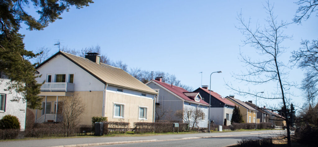
Pormestarinhaka
Pormestarinhaka is a residential area located southeast of the city centre, less than a kilometre from the market square. The buildings are typical post-World War II 1½-storey plastered or boarded detached houses.
The Pormestarinhaka area is linked to Rauma’s period of strong population growth in the 1940s and 1950s.
Kukonkari
Kukonkari is close to the city centre, north of Old Rauma. The building stock in the area consists mainly of detached houses from the 1950s, most of which are located with their ends facing the street. In the eastern part of Luostarinkatu there are also terraced houses built in the 1960s. The splashbacks and light brown walls of the detached houses and the cement tile roofs also give the area a uniform appearance. Typical details in the detached houses are metal and wood-framed porches and balconies.
The area has also been called a “church’s village”.
Kukonkari’s detached and terraced houses are of a higher quality than the typical Rauma architecture of their time. The history of the area also tells of the strong growth of the city of Rauma, especially in the 1950s.
Komppi
Komppi is located less than 3 kilometres west of the market, near the harbour, next to the Kompinlahti marina. There are 16 wooden houses, two types of houses, and one former villa. The type houses are of log construction and are mainly Art Nouveau in style. Individual alterations have been made to the properties over the decades, but they can be identified as a coherent whole.
Albert Richardtson designed the island of Komppi in 1919, both the residential areas and the buildings. The buildings were completed for the workers of a window-glass factory. The glassblowers who lived on the island were international; in addition to the Nordic blowers, there were Germans, Poles and Flemings, among others.
The Komppi area tells the history of Rauma’s industry, the port and its geographical changes, and the early working-class settlement of the city. The fact that Komppi was an island and became a small area surrounded by industry makes the site of exceptional historical value.
Tornelankuja
Tornelankuja is less than a kilometre east of the market, near the Ankkalammenpuisto park. The five 1960s apartment buildings on the west side of Tornelankuja have mainly slabbed facades, asbestos-cement tile cladding and concrete surfaces. The exception is the tin-roofed house at the corner of Tornelankuja and Steniuksenkatu. The sites are loosely laid out in the landscape according to the functionalist design principles of the 1960s.
On the other side of Tornelankuja are three 1950s terraced houses with plaster and red brick facades. The residential area of Tornelankuja, built in the 1950s and 1960s, has preserved its original urban structure and architecture.
Kanavakatu
Kanavakatu is located in the city centre along the Kanali. Historically, the area is based on a map drawn up by Harald Andersin in 1922. There, the target area was mainly located in Kärppä block No 13, but also partly in Näätä block No 12.
The historic core of the Kanavakatu area consists of two-storey blocks of flats built in the 1950s, with the addition of new buildings to match the style.
Holra’s Block
The Holra’s block can be found along the Keskuspuisto park. The block forms a coherent whole, reflecting the functionalist urban centre design of Rauma. The history of Block 225 dates back to the 1896 town plan by G. Idström. It largely gave the block its present shape and alignment.
In 1949, Hollming Oy bought from the city the plots in the block bounded by Valtakatu, Seminaarinkatu and Puistokatu, now called Satamakatu. Holra’s six-storey building was modelled on the adjacent buildings designed by Antero Pernaja in 1949 and built in 1950, the Asunto Oy Holra buildings.
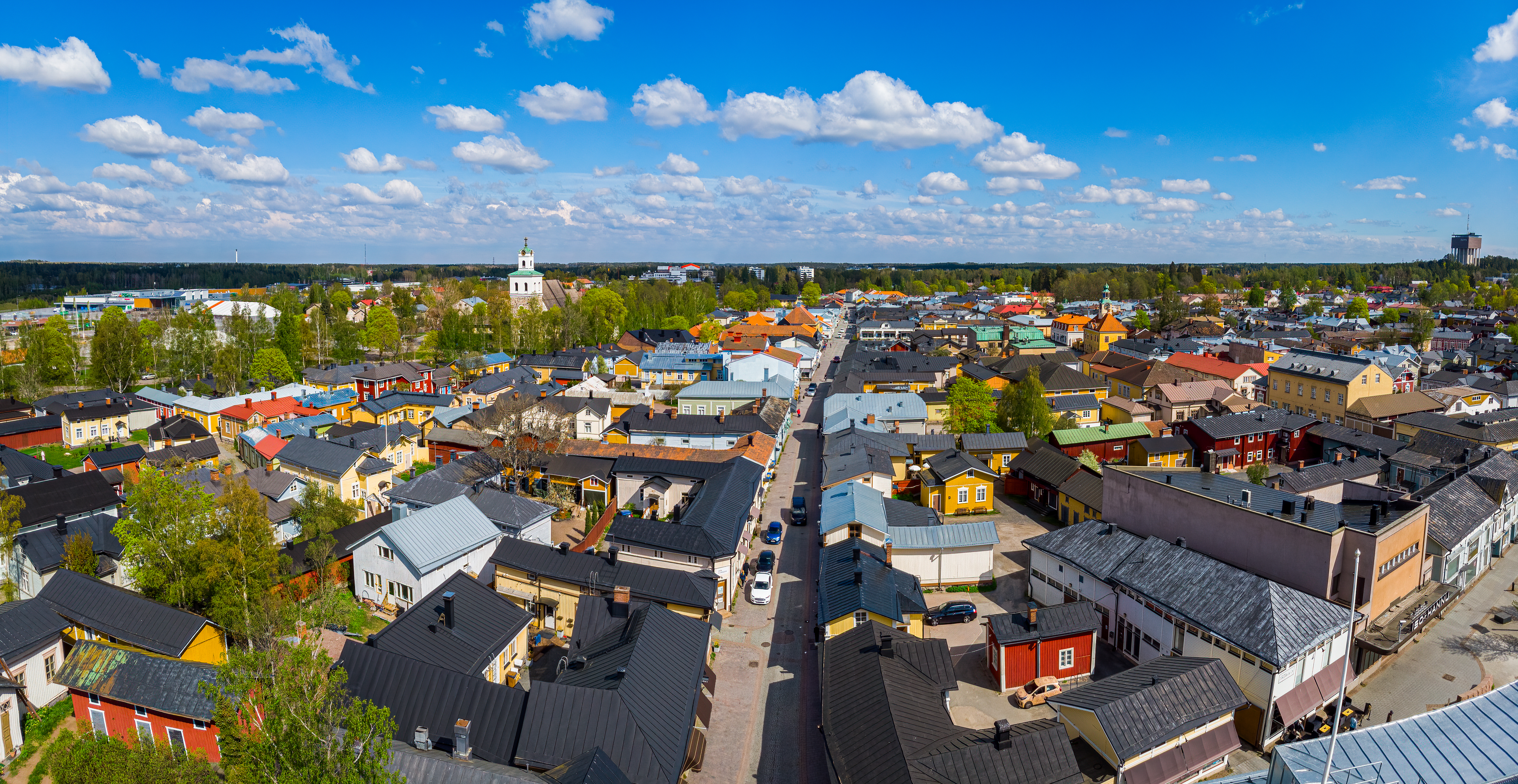
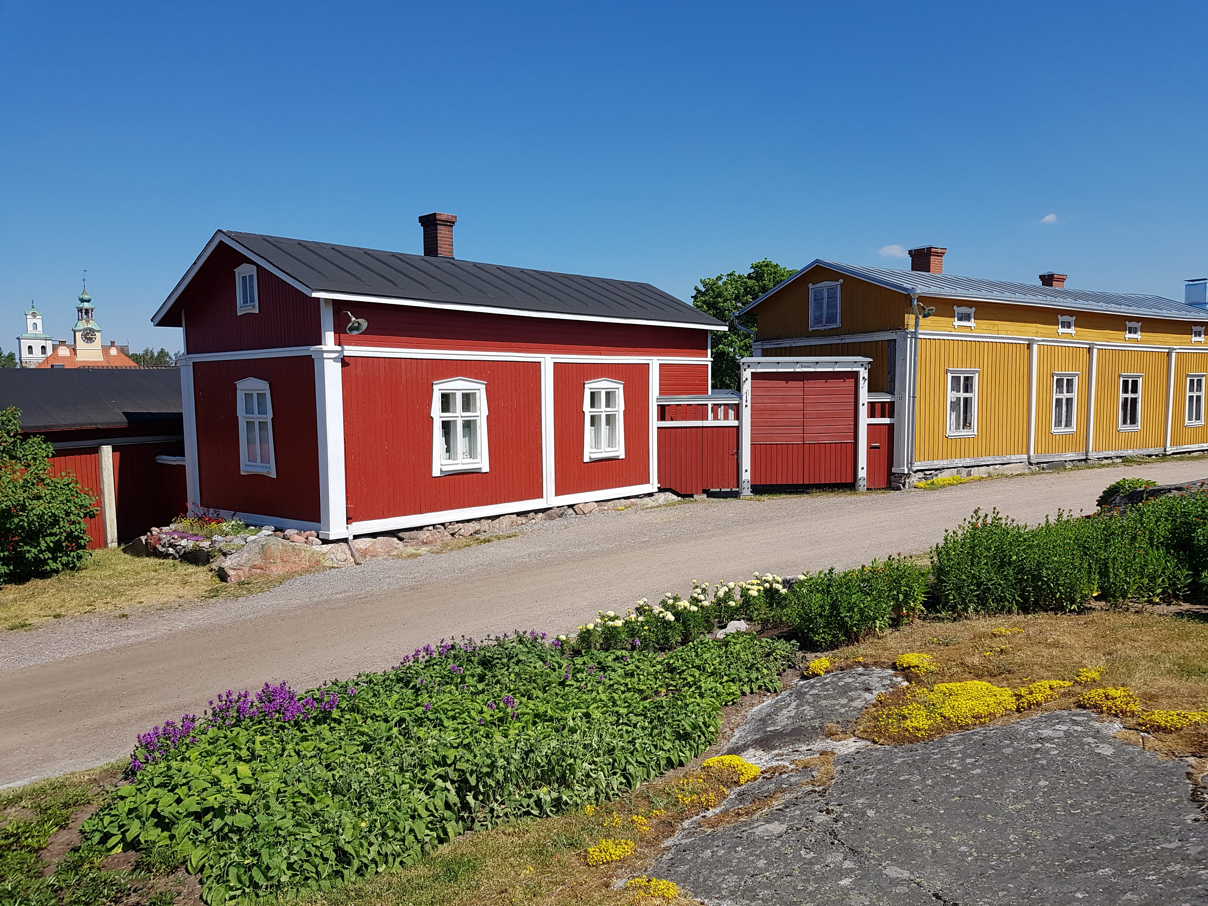
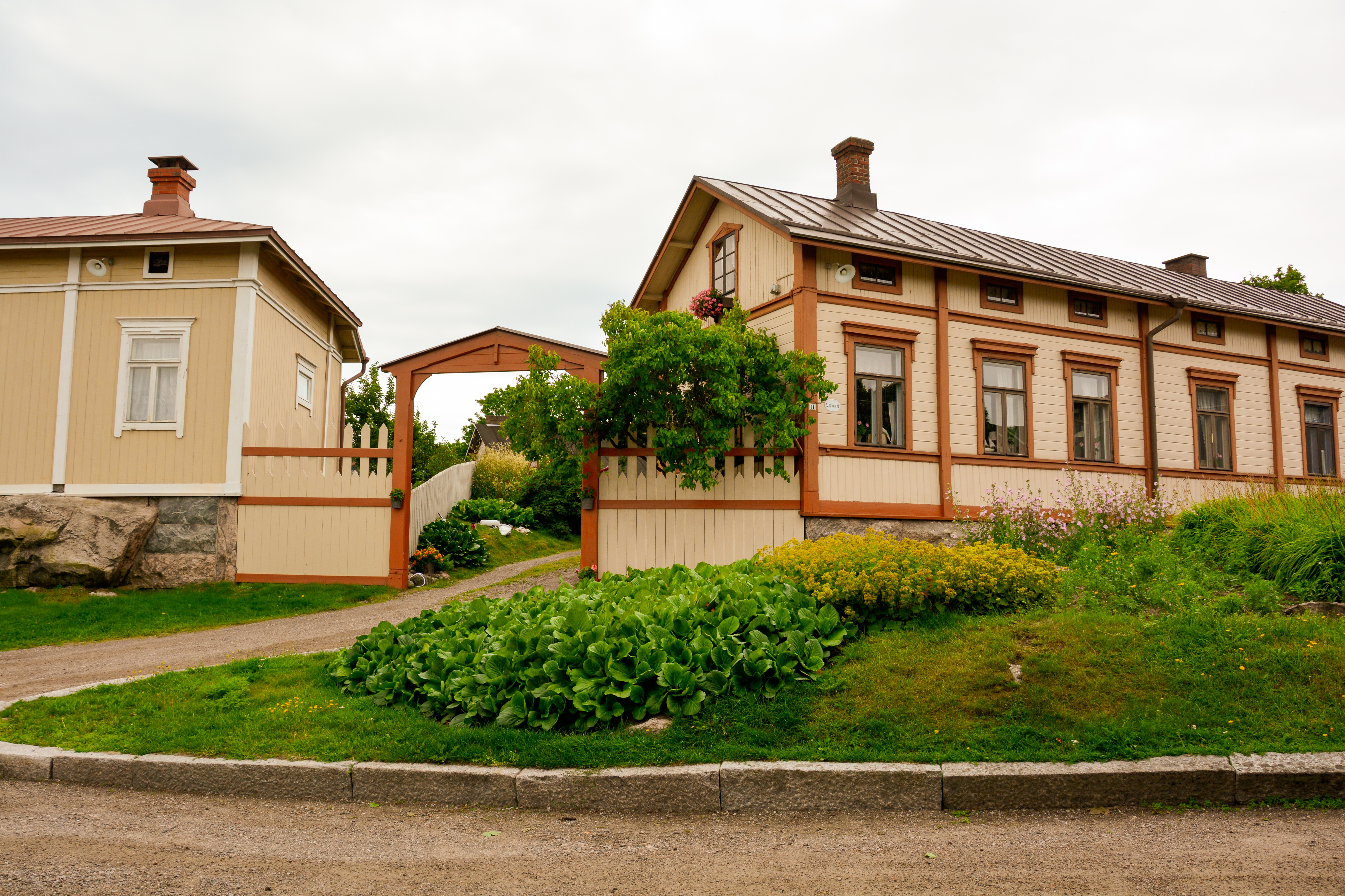
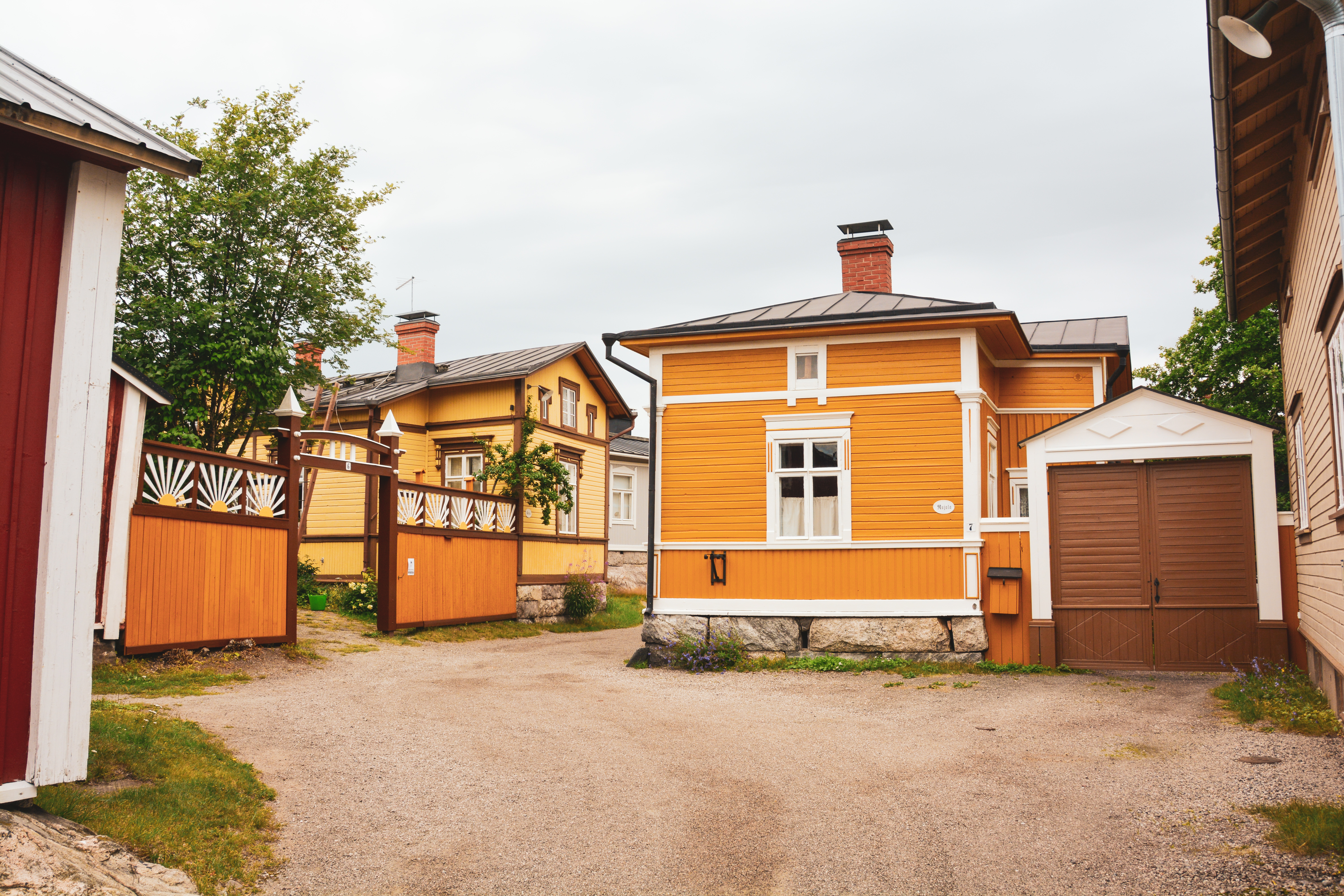
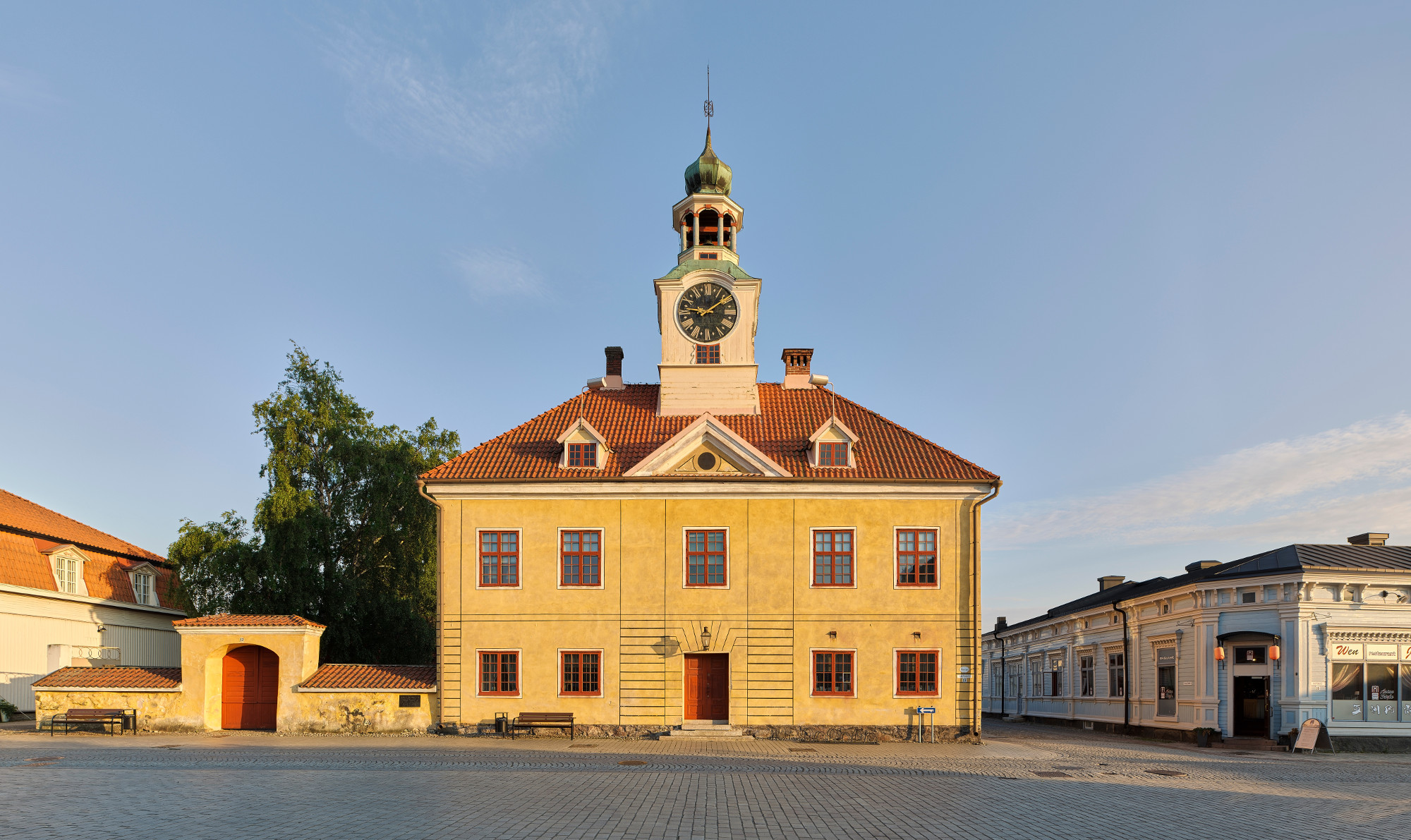
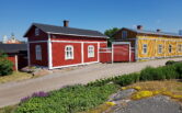
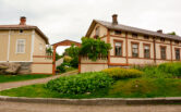
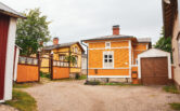
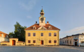
Old Rauma
Old Rauma is the heart of the city. The street network dates back to the Middle Ages, and the single-storey wooden buildings are the only complete wood-framed urban areas that have survived.
Old Rauma is both a vibrant urban centre and a World Heritage Site. With its network of streets, blocks, plots and buildings, the area is one of the most beautiful and well-preserved wooden cities. What makes the area unique is that it has been the centre and heart of the city throughout its existence.
Old Rauma is made up of houses of different sizes, built of different materials, at different times and with different design ideas. The cityscape is a varied and diverse, human-scale whole, revealing hundreds of years of the city’s history. The proximity of the sea has influenced Rauma’s townscape, not only through the receding coastline but also through the maritime trade and the wealth it has brought.
Pidesluoto
The distance between the Fåfänga recreation area and Pidesluoto of Poroholma is about 1.5 km from the centre. The area contains detached houses and outbuildings dating from the 1940s and 1950s. The oldest buildings are single-storey detached houses. Some of the newer properties are either single-family or multi-family 1 ½ storey detached houses. The buildings are mainly lined with either render or vertical boarding.
The Pidesluoto also reflects Rauma’s strong growth in the 1940s and 1950s, which in turn is linked to the city’s industrial growth. In this way, the Pidesluoto also contributes to the residential history of the working class in Rauma.